Here at the PATA Days meeting in Guatemala, Franz Livio talked about a huge paleoseismology project targeting the Rieti Basin in Italy. He said we’d have to read the paper in order to appreciate all the details, and here we are – the paper has just been published. Of course there are many more really interesting studies that came out recently. Enjoy reading!
Paleoseismology was developed in places where faults behave well. In California, Anatolia, or along major plate-boundary faults, earthquakes repeatedly break the surface in rather short recurrence intervals, and they form long scarps. In such settings, tectonic geomorphology, subsurface data, and empirical scaling laws between rupture lengths and offset tend to point in the same direction. These regions have been essential for developing paleoseismic methods—but they have also shaped our expectations in ways that are not always transferable to other settings. Mature orogens and slowly deforming mountain belts are different. Fault slip rates are low and earthquake recurrence intervals are long, often tens of thousands of years. Erosion, solifluction, soil creep, and other types of mass movements modify the landscape faster than tectonics can do. This is especially true in areas that are glaciated during the ice ages. As a result, the geological record of faulting is incomplete by default. Scarps are degraded, stratigraphic markers are rare, and the link between surface morphology and fault kinematics is often ambiguous. None of this means that these regions are tectonically inactive. It means that their activity is harder to read.
This time there are a lot of papers on the active tectonics of the Mediterranean region in our list, but we also have interesting studies from Central and Eastern Asia, the Caribbean, and N America. Plus, a couple of methodological papers. Enjoy reading!
What a long list we have today! Perhaps a bit more seismic hazard-focussed than usual, but there’s even a study on active faulting and seismic hazard on the moon. Apart from that there are many papers on Asia this time. Enjoy reading and please let us know about your new research for next month’s list.
Today’s list of papers includes a large number of publications on the Tibetan Plateau, but earthquake aficionados will also find interesting studies on methodological aspects of earthquake geology and case studies from Europa, the Americas, and Aotearoa / New Zealand. Enjoy reading and let us know if we’ve missed something!
Most studies in this month’s list deal with the active tectonics of Asia and the Mediterranean, but we have a wide variety of different methods covered. Make sure to check out the latest applications of the ESI2007 scale. There are also very interesting papers on fault interaction and fault behaviour in general, about cascading hazards, and about quakes in lakes. And of course there is the really cool “InSAR lookbook”. Enjoy reading!
All eyes are on the horrible consequences of the Myanmar Earthquake right now. Let’s hope that on the long term, this event helps us to be better prepared for large earthquakes elsewhere. Meanwhile, lots of interesting papers have been published, among them many that deal with seismic hazard and cascading effects and actually also one on Myanmar (Sethanant et al., 2025). Let us know in the comments of there’s something missing.
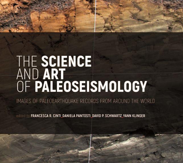
The Science and Art of Paleoseismology Images of Paleoearthquake Records From Around The World Edited by Francesca R. Cinti, Daniela Pantosti, David P. Schwartz, Yann Klinger Printed in 2025
Our primary objective in publishing the book “The Science and Art of Paleoseismology” is to present observations through images of individual earthquake surface ruptures exposed in trenches across active faults in shallow continental crust across the globe.
With this book we aim to provide young researchers, students, and working professionals undertaking paleoseismologic studies with images of the variable expression of surface fault ruptures in trench exposures and their interpretations. The book contains examples from strike-slip, reverse, and normal fault ruptures in a range of tectonic settings as well as descriptions of the criteria and tools used for rupture identification, thereby strengthening the interpretation of surface-fault rupture histories and earthquake recurrence.
The book includes 28 case studies by a large number of contributors. 13 are on strike-slip, 6 on reverse, and 9 on normal faults. Each rupture example is developed in four pages of photos, trench logs, maps, and text.
If you are interested in obtaining a copy of the book you can get it for free but you need to cover the shipping fees. Please send a request to the email address below including the number of copies you are willing to receive and your complete postal address. We will provide you with instructions (size, weight, address, etc.) for preparing the pre-paid shipping label. scienceandartpaleoseismology@gmail.com
A digital copy of the book is planned at a later date. Looking forward to getting your feedback