Pieces of history, mapping faults, and maps – today is Friday and here are your links!
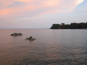
Mapping faults is a great enterprise. Mapping buried faults can be quite challenging. But mapping hidden faults underwater is an abitious and difficult enterprise – that Donna Shillington and Natalie Accardo are undertaking on Lake Malawi at the moment. Using a converted container ship as research vessel they chug across the lake to collect seismic data – and to map faults.

Sunset at Lake Malawi | CC BY 2.0
Today in history: Fifty-one years ago, the second largest earthquake ever recorded shook Alaska and western Canada. The 1964 Great Alaska Earthquake was a magnitude 9.2 earthquake and was accompanied by a huge and destructive tsunami. This event helped geologists to better understand megathrust earthquakes and the then recently adopted plate tectonics theory. The USGS has a nice collection of fact sheets and movies and this story on the great leaps in earthquake resarch over the past five decades.
ht
Today in history II: Two hundred and eighteen years ago, in 1797, the father of modern geology died. James Hutton, introduced the later-named theory of uniformitarianism by his work on unconformities – like the famous Siccar’s Point.

First publication of Hutton of The Theory of the Earth | CC BY-SA 2.5
You like maps and quizzes? Then Geoawesomeness has this GeoawesomeQuiz for you, posted today by Aleks Buczkowski. It’s the thirteenth one and you can also take the previous quizzes.
Speaking of maps, the open data policies slowly spread all over the world. In Europe, the UK data policy is quite progresssive. See this brief collection of UK’s open data products on digital-geography.com.
And here are some of my favourite tweets from the last week:
Have a nice weekend!


No Comments
No comments yet.