I’ve spent several weeks in Eastern Kazakhstan this summer for paleoseismological field work. During the first part of this trip we looked at some thrust and strike-slip faults in the Ili Basin and the Saty area. The second part was almost entirely devoted to study the Dzhungarian Fault. I’ll blog about this second part later. Eleanor, David, Austin and me were the UK representatives in our team. We were so lucky to have Kanatbek from Kyrgyzstan and Aydin from Kazakhstan with us. They did not only lead us to all the interesting places and helped us to understand the geology and the tectonics, but they also did a fanatastic job organizing the field trip and dealing with the local surprises, which as you know happen in basically every field trip.
Our first study site was located at the northern boundary of the Ili Basin, where we did some work last year already.
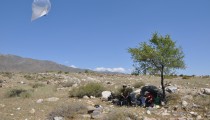
This year we completed our aerial photo survey with the helikite. This involved some intense hiking along an impressive fault scarp which is littered with the most amazing petroglyphs.
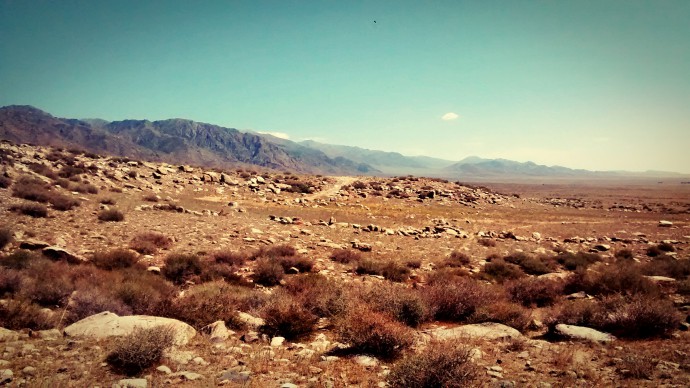
This thrust fault scarp parallels the mountain front for dozens of kilometres.
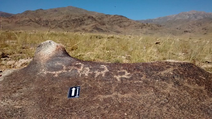
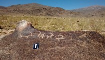
Petroglyphs, probably Bronze Age.
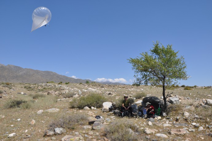
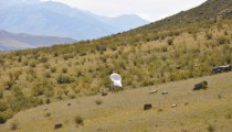
Moving the balloon looks easy, but is actually hard work.
Actually, moving the balloon is only one part of the story and can be done by one person. The others are running back and forth, setting up ground control points and measuring their position with DGPS after the balloon has passed them.
Our next target was a fault at the southern Ili Basin, which we thought might be less active, and indeed we didn’t find many interesting things here. At least nothing that points to young deformation…

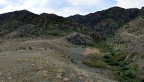
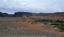
A stunning canyon, but not that much in term of recent offsets.
Later we stopped at a giant scarp completely covered in loess. We did a quick drone survey there to produce a digital elevation model (DEM) using structure-from-motion (SfM).

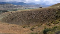
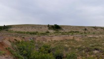
An impressive scarp. Who knows how thick the loess cover is?
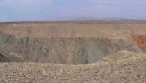
On our way to the south of the country we passed the Charyn Canyon, where one can see a thrust fault in action, Paleozoic rocks being thrust over Neogene and Quaternary units:
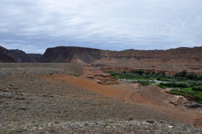
Paleozoic being pushed over Neogene and Quaternary at the Charyn Canyon.
Finally we reached Saty, a town close to the border with Kyrgyzstan. Do you also feel that border areas are always somewhat special? It’s not only the presence of police and the military, it’s often a kind of diffuse feeling of a place being different from other places. Well, I had exactly this inaccurately described feeling there. However, Saty – which my autocorrect now has changed to ‘stay’ for the third time – is located in the epicentral area of the 1889 Chilik earthquake. This was one of the strongest continental earthquakes that ever happend with a magnitude of ~MW8.3, based on macroseismic intensities. Reason enough to have a close look at the faults there! The Saty valley is exceptionally beautiful. A tourist is probably amazed by the high mountains and the weird hills, a geomorphologist is stunned by the landslides, the deformed terraces, the surface ruptures, and the tilted erosional surfaces.
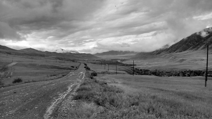
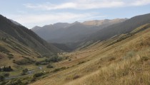
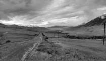
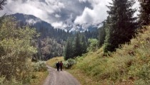
Entering Saty valley.
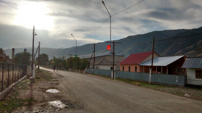
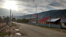
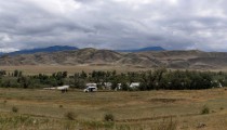
Saty downtown.
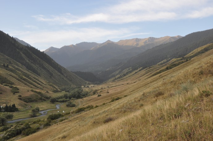
Sunrise at our camp site.
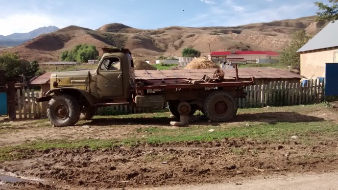
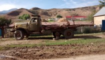
An old Soviet geology truck. I want one!

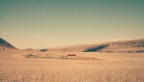
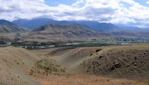
A panorama of Saty, with the Chilik river in the foreground.
We worked on channels which were offset by a left-lateral fault that also has a vertical component. The fault trace is quite easily visible in the field. We dug pits to sample abandoned alluvial surfaces – by getting to know when they were abandoned we can say something about the fault activity and hopefully measure a slip rate.
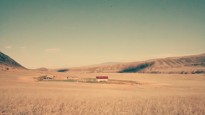
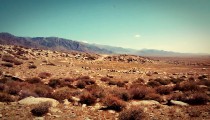
It’s hard to not appreciate the beautiful landscape.

The fault crosses the channel and the ridges.

One of the offset channels we worked at.
In some of the pits we found charcoal and snails which allow us to do 14C dating. In other pits we took loess samples for optical stimulated luminescence (OSL) dating. When sediment containing quartz or feldspars is buried and shielded from cosmic rays, ionizing radiation from the natural radioactive decay will cause charges which are stored in electron traps in these minerals. These charges accummulate over time as long as the sediment doesn’t see the sun. Later in the lab the samples are exposed to light (optically stimulated) and as a consequence, the charges will be released and cause luminescense. By measuring the amount of light emitted, one can determine how long the sample was buried. So we took samples using opaque steel tubes to shield them from sunlight. These samples will tell us when the fan became inactive and covered by the loess.
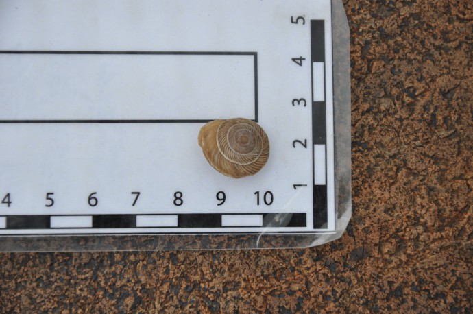
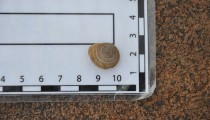
A recent snail of the same species that we found in the pits. We will date this one, too, to find out about the inheritance of the samples. That is, snail shells might appear older than they actually are, and we can correct for this effect by dating one which should have age zero and see how old it appears to be using radiocarbon.
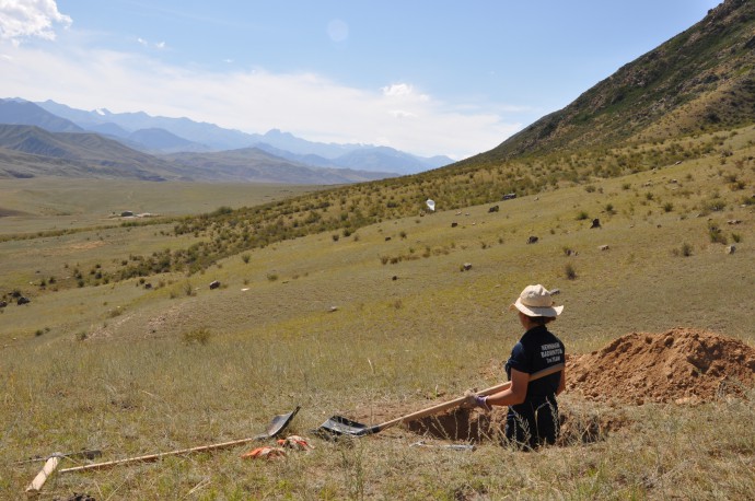
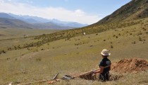
Digging sampling pits, note the helikite in the background.
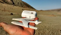
We also surveyed the area with the helikite and the drone, because we want to build a DEM of the offset morphology.
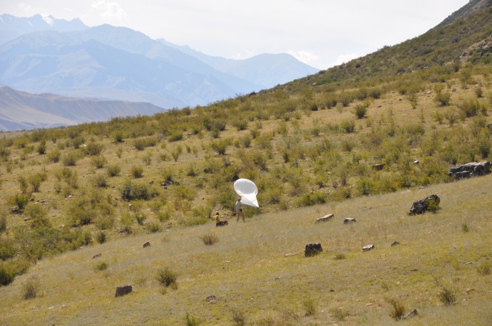
Another successful helikite survey…
The helikite was a bit more successful than the drone flight:
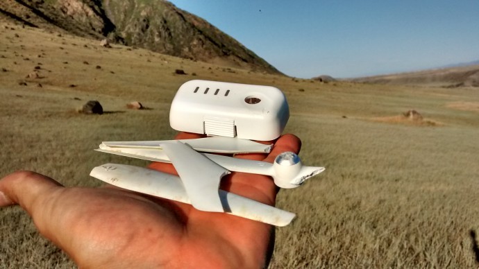
… and the remains of our drone.
We don’t know what caused the drone to crash. What we do know is that it was quite spectacular and thorough.
Our last day in the Saty area was devoted to see some extension cracks on a hill that’s crossed by the fault, probably secondary earthquake effects. Then we hiked up a steep valley to the Kaiyndy lake. Some time ago, a huge landslide blocked the river and a lake formed, drowning the trees on the valley floor. A touristic highlight spiced with interesting geology – the landslide might have been caused by an earthquake…
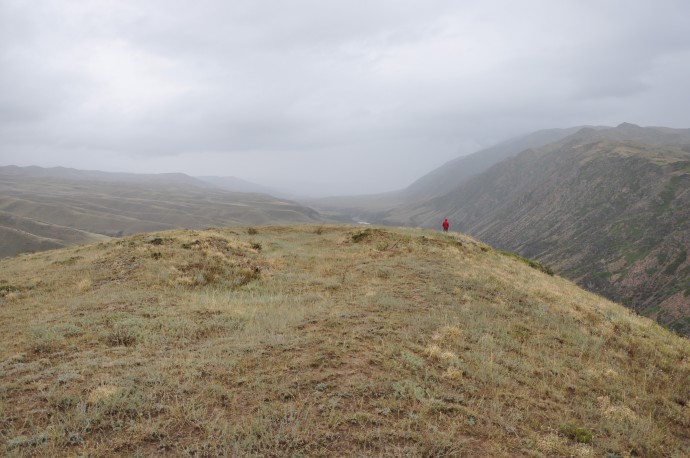
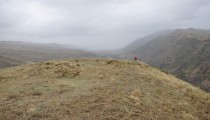
A little graben on the hill top.
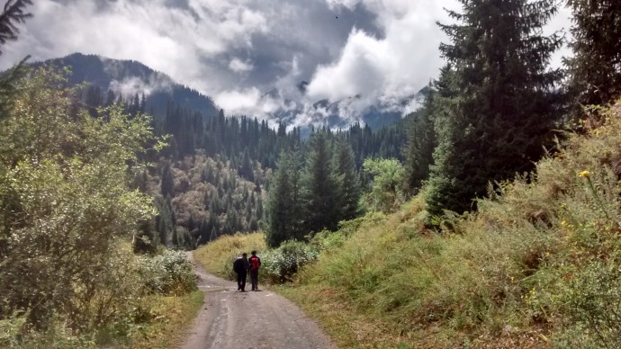
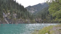
Approaching the Kaiyndy lake.
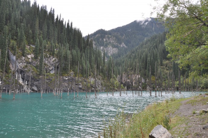
Drowned trees in the Kaiyndy landslide lake. From the decay of the trees and the rocks in the background one can distinguish at least three different lake levels.
I will blog about part II of the field trip, soon. Be prepared for some amazing strike-slip geomorphology!
A big thank you goes to Aynagul who made the stay in the field a pleasure by cooking the most delicious food, and to Sagyn who is the king of offroad driving.
We were funded by COMET and the Earthquakes without Frontiers project (EwF). Both are on Twitter (@NERC_COMET, @EwFProject), have great websites, and EwF also has a nice blog!
- Sunrise at our camp site.
- Drowned trees in the Kaiyndy landslide lake. From the decay of the trees and the rocks in the background one can distinguish at least three different lake levels.
- A little graben on the hill top.
- A recent snail of the same species that we found in the pits. We will date this one, too, to find out about the inheritance of the samples. That is, snail shells might appear older than they actually are, and we can correct for this effect by dating one which should have age zero and see how old it appears to be using radiocarbon.
- … and the remains of our drone.
- Another successful helikite survey…
- Digging sampling pits, note the helikite in the background.
- Entering Saty valley.
- Approaching the Kaiyndy lake.
- Saty downtown.
- An old Soviet geology truck. I want one!
- It’s hard to not appreciate the beautyful landscape.
- One of the offset channels we worked at.
- The fault crosses the channel and the ridges.
- An offset chanel.
- A panorama of Saty, with the Chilik river in the foreground.
- Paleozoic being pushed over Neogene and Quaternary at the Charyn Canyon.
- An impressive scarp. Who knows how thick the loess cover is?
- A stunning canyon, but not that much in term of recent offsets.
- Petroglyphs, probably Bronze Age.
- Moving the balloon looks easy, but is actually hard work.



Andrew Alden | 2015-10-27|23:40 (UTC)
Graben on a hilltop = sackung!
Christoph Grützner | 2015-10-28|00:03 (UTC)
Yeah, we’ve seen this also in Kyrgyzstan as a consequence of the 1992 Suusamyr earthquake: http://paleoseismicity.org/paleoseismological-field-work-in-kyrgyzstan/dsc_0025/
I feel there should be a terminological distinction between slow/gravitational sackungen and secondary earthquake effects due to (strong) ground motion, but there isn’t, right?