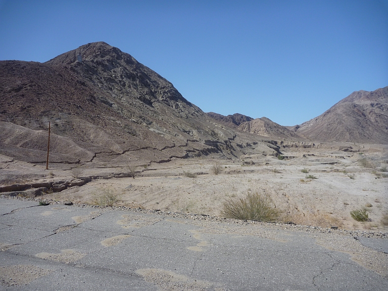
On 4 April, 2010, the El Mayor-Cucapah earthquake occurred in NW Baja California, Mexico. It was magnitude 7.2 strike-slip event, and the (surface) ruptures were distributed over a set of faults in the area, among them the Laguna Salada Fault. The epicentral area was under surveillance by a technique similar to DInSAR – Uninhabited Aerial
Vehicle Synthetic Aperture Radar (UAVSAR). Comparison of images from before and after the M7.2 earthquake revealed that slip occurred not only in the epicentral area and at the Laguna Salada Fault, but also on faults to the north. These findings were recently published by Donnellan et al. (2014).
This is the epicentral area:
Click on the button to load the content from maps.google.de.
Larger Map
Here are some images from the 2010 surface ruptures at the Laguna Salada:
The UAVSAR data reveal that fault slip occurred at the Imperial and Superstition Hills Faults and at the East Elmore Ranch Fault during the earthquake. One week after the event, even more slip was observed at the Imperial fault. All in all, a seismic moment equivalent of an earthquake of magnitude 5 was released. The authors conclude that “the Salton Trough actively deformed” during the earthquake. “The deformation shows a decreasing pattern of northwest-striking right-lateral motion with conjugate northeast-striking left-lateral motion that decreases northward. The fault pattern steps northward to the Salton Sea toward the San Andreas Fault.”
Make sure to check this fieldtrip guide of the area (Fletcher et al., 2014)!
Referencesand further reading
- Donnellan, A., J. Parker, S. Hensley, M. Pierce, J. Wang, and J. Rundle (2014).
UAVSAR observations of triggered slip on the Imperial, Superstition Hills, and
East Elmore Ranch Faults associated with the 2010 M 7.2 El Mayor-Cucapah
earthquake. Geochem. Geophys. Geosyst., 15, 815–829, doi:10.1002/2013GC005120. - Hauksson, E., J. Stock, K. Hutton, W. Yang, A. Vidal-Villegas, and H. Kanamori (2010), The 2010 Mw 7.2 El Mayor-Cucapah Earthquake Sequence, Baja California, Mexico and Southernmost California, USA: Active seismotectonics along the Mexican Pacific Margin, Pure Appl. Geophys., 168(8–9), 1255–1277, doi:10.1007/s00024-010-029-7.
- John Fletcher, Thomas Rockwell, Orlando Teran, Ana Paula Hernandez, Karl Mueller, Lewis Owen, Peter Gold, Austin Elliott, Sinan Akciz, Warren Sharp, Alejandro Gonzalez, and Ronald Spelz (2014). Field guide 4D Architecture of an Oblique Rift Margin – Paleoseismology of the Borrega and Laguna Salada Faults. Friends of the Pleistocene field trip February 27-March 2, 2014.


No Comments
No comments yet.