The Canyonlands National Park, Utah, is famous for its beautiful landscape and spectacular landforms. For many geoscientists it is also well-known as a sandstone reservoir analogue and as a tourist you’ll often run into groups of geologists on field trips. It’s a matter of debate how and how fast the beautiful grabens in the Needles Fault zone formed – these are large arcuate canyons several tens of kilometres in length, paralleling the Colorado River. In a new paper we present results from remote sensing, mapping, and georadar (GPR). Our aim was to better understand the coupling between deformation, erosion and deposition in such an active system. Based on our findings we developed a model of graben formation and describe the geometry of the dilatant faults at depth. We argue that either the grabens are older than previously assumed or that sedimentation rates were much higher in the Pleistocene.
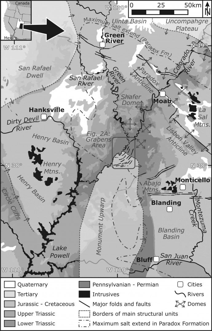
A simplified geological map of the study area.
The grabens area is made up of Pennsylvanian sandstone underlain by a salt layer in a few hundred metres depth. Incision of the Colorado River, in combination with a local tilt of 2°-4° to the NW, is assumed to be responsible for the formation of the grabens, either due to salt movement or gravitational gliding on a lubrication layer. InSAR data show that the grabens are extending with up to 3 mm/yr, which seems to take place as mostly aseismic creep. As a result, canyons of different depth and width have developed.
![CanyonlandsDEM [Converted]-01-01 DEM of the grabens area with the main structures.](https://paleoseismicity.org/wp-content/uploads/2015/10/CanyonlandsDEM-Converted-01-01-690x903.jpg)
DEM of the grabens area with the main structures.
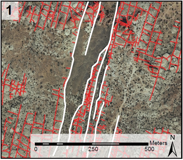
Pre-existing joints control the graben formation.
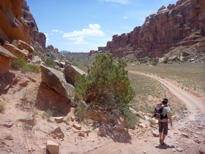
This is what the grabens look like on the ground, with Heijn van Gent (2 m) for scale.
In our field mapping we concentrated on a few grabens in which the walls were least weathered and where the joints were most distinct. We measured the geometry of the walls and faults with a laser range finder, and we also mapped sink holes as they indicated where subsurface flow paths are present. This helped us to understand the geometry of the dilatant faults.
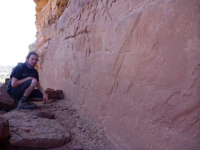
Michael Kettermann, the leading author of the study, inspects the graben walls.
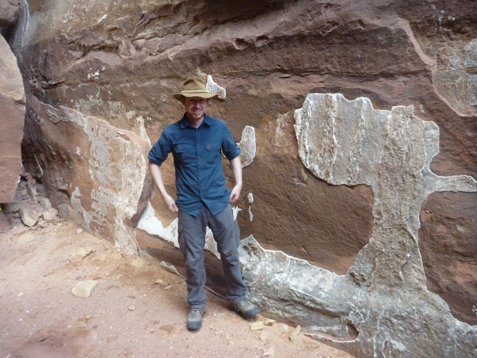
Michael Kettermann, the leading author of the study, found what he was looking for.
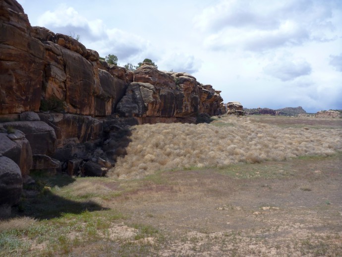
A tumble weed-filled sinkhole.
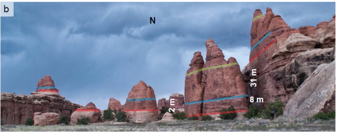
The offsets can be nicely observed in the coloured sandstone markers.
We then applied georadar for imaging the shallow subsurface. The geometry of the sediments would allow us to conlude on flow directions, changes in sedimentation patterns, and tilted units. Unfortunately, access to the study area is only possible by a high-clearance 4×4 vehicle, or by foot. We could rent a 4×4 to reach the most remote parts of the field area, but in most cases we had to carry the GPR equipment for several kilometres, always staying on the tracks in order to not damage the cryptobiotic soil. Luckily, Stefan Schnabel joined us for a few days to help us carrying the stuff (thanks a lot!).
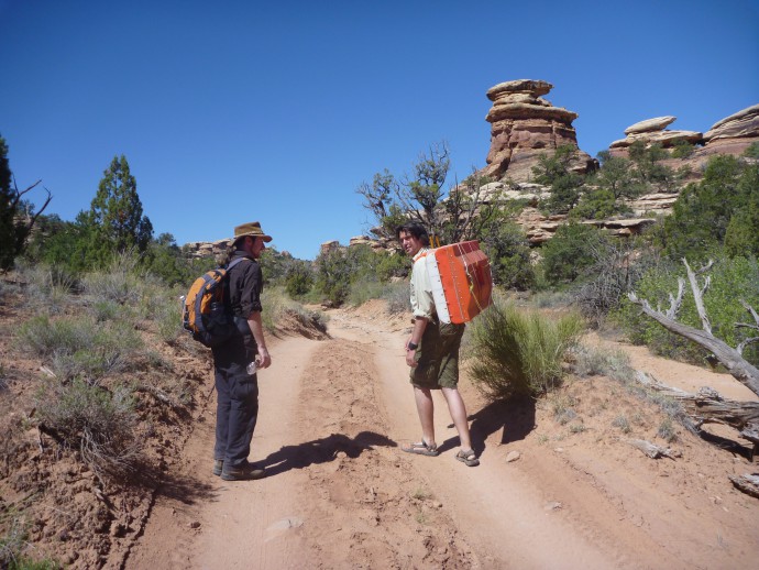
Carrying the equipment to the study site.
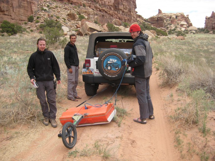
Preparing the GPR system.
Based on the gathered data we developed a model of how dilatant faults form in our study area. We compared our sedimentary insights from the GPR data with paleo-climate results from a near-by study site and were thus able to estimate sedimentation rates. Comparison of our fault information with analogue models helped to refine the understanding of how the grabens formed.
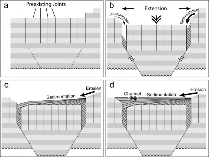
A very simple model of graben formation. Check the paper for an updated version and the details.
In short, we can draw four main conclusions, which I cite from our paper:
- Our GPR profiles revealed faults in the subsurface that were overprinted and not visible at the surface. We can therefore conclude that the fault zone of the Canyonlands grabens is more complex than obvious. Since this area is an analogue for reservoirs, knowledge of the fault zone complexity can be used to enhance seismic interpretation and fault zone permeability estimates.
- Dilatant faulting is evident in many places, even if the surface expression is overprinted by sedimentation. Measurements of heave and throw at some faults additionally provide evidence for vertical fractures at the surface in combination with joint reactivation and inclined faults at depth.
- We propose a model of graben formation based on our observations, including fault localization at tips of vertical joints, shallow fault dips at depth, graben-internal faulting and reactive diapirism.
- Paleosols in the subsurface of Cyclone Canyon correlate with the climate reconstruction of Reheis et al. (2005). Comparing these paleosols, their ages and the underlying sediment thicknesses imply either a graben age older than expected from previous dating or higher sedimentation rates in Cyclone Canyon.
The paper was recently published in Solid Earth, an open access EGU journal:
Kettermann, M., Grützner, C., van Gent, H., Urai, J., Reicherter, K. & Mertens, J., 2015. Evolution of a highly dilatant fault zone in the grabens of Canyonlands National Park, Utah, USA – integrating fieldwork, ground-penetrating radar and airborne imagery analysis. Solid Earth, 6, 839-855
The dirt people.
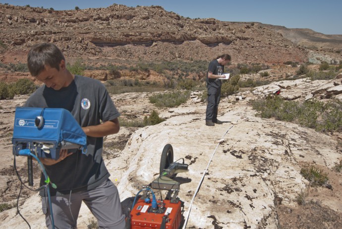
Field work in great landscape.
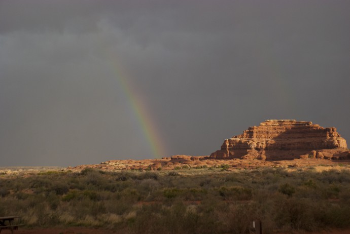
We camped in the desert for three weeks, and it was absolutely worth it.
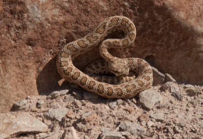
No more Mr Nice Guy.
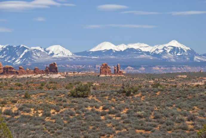
Stunning views to the surrounding mountains, needles in the foreground.
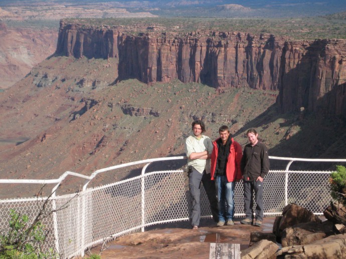
The field team
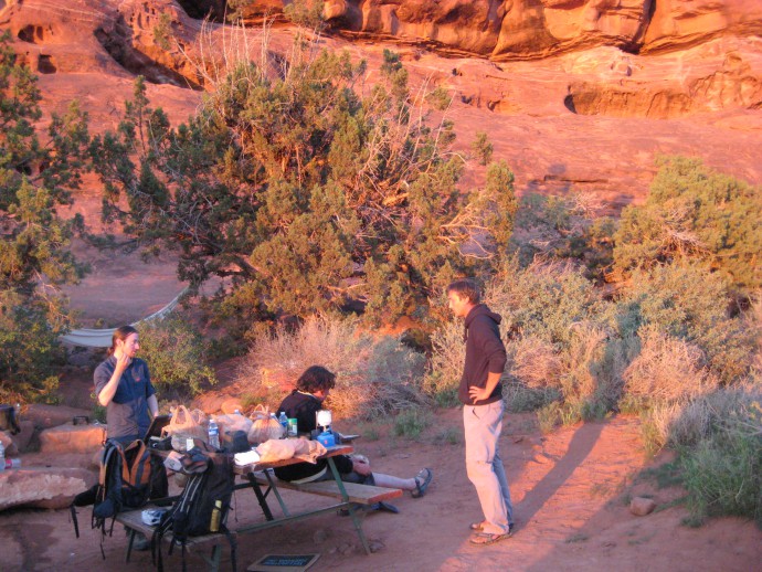
Our campsite – kitchen, bedroom and living room for three weeks.
We thank Marc Miller and Vicky Webster from the National Park Service for their kind support and Stefan Schnabel for help with field work. Gary and Tracie of the Needles Outpost campsite were great hosts. Sadly, it appears that the campsite has been closed.
References
Reheis, M. C., Reynolds, R. L., Goldstein, H., Roberts, H. M., Yount, J. C., Axford, Y., Cummings, L. S., and Shearin, N.: Late Quaternary eolian and alluvial response to paleoclimate, Canyonlands, southeastern Utah, Geol. Soc. Am. Bull., 117, 1051, doi:10.1130/B25631.1, 2005.


No Comments
No comments yet.